|
The village of La Tagnière is a small village located east center of France. The town of La Tagnière is located in the department of Saône-et-Loire of the french region Bourgogne. The town of La Tagnière is located in the township of Mesvres part of the district of Autun. The area code for La Tagnière is 71531 (also known as code INSEE), and the La Tagnière zip code is 71190.
Geography and map of La Tagnière :
The altitude of the city hall of La Tagnière is approximately 320 meters. The La Tagnière surface is 34.07 km ². The latitude and longitude of La Tagnière are 46.788 degrees North and 4.217 degrees East.
Nearby cities and towns of La Tagnière are :
Dettey (71190) at 3.73 km, Uchon (71190) at 3.89 km, La Chapelle-sous-Uchon (71190) at 5.50 km, Saint-Eugène (71320) at 5.91 km, Saint-Nizier-sur-Arroux (71190) at 6.06 km, Charbonnat (71320) at 7.60 km, La Boulaye (71320) at 8.09 km, Mesvres (71190) at 8.39 km.
(The distances to these nearby towns of La Tagnière are calculated as the crow flies)
Population and housing of La Tagnière :
The population of La Tagnière was 228 in 1999, 272 in 2006 and 264 in 2007. The population density of La Tagnière is 7.75 inhabitants per km². The number of housing of La Tagnière was 184 in 2007. These homes of La Tagnière consist of 116 main residences, 44 second or occasional homes and 23 vacant homes. |
|
|
Hotel La Tagnière
|
|
|
Book now ! Best Price Guaranteed, no booking fees, pay at the hotel with our partner Booking.com, leader in online hotel reservation.
Find all hotels of La Tagnière : Hotel La Tagnière
| |
|
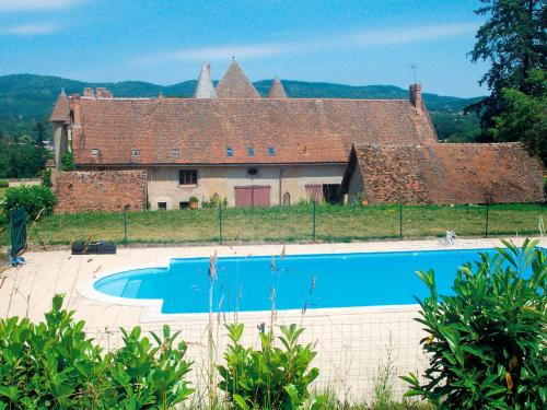
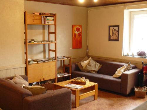
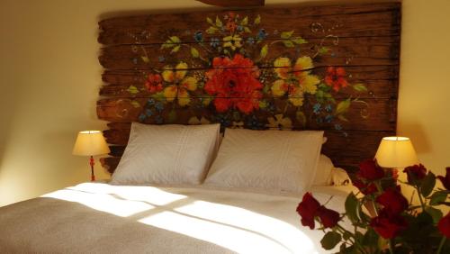
Guest accommodation : Holiday Home La Maison du Chateau
Holiday Home La Maison du Chateau is situated in La Tagnière and offers a garden. The accommodation is 25 km from Autun. The holiday home comes with 4 bedrooms, a TV and a full...
Address : 71190 La Tagnière
Distance Guest accommodation - La Tagnière : 0.42 km
|
|
|
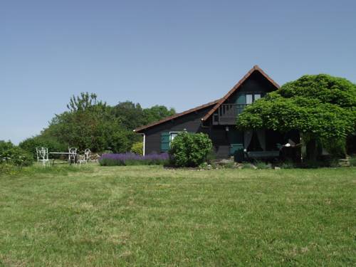
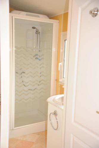
Guest accommodation : Maison Dettey
Maison Dettey is situated in La Boulaye and offers barbecue facilities. This holiday home provides a garden. Offering direct access to a terrace, the holiday home consists of a...
Contact : 71190 La Boulaye
Distance Guest accommodation - La Tagnière : 3.64 km
|
|
|
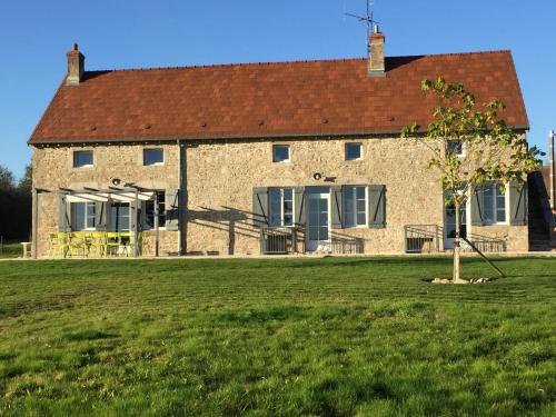
Guest accommodation : Belgite
Boasting accommodation with a terrace, Belgite is located in La Boulaye. The property has mountain views and is 31 km from Autun. The holiday home includes a kitchen with a dis...
Prices : from 120.00 €
to 135.00 €
Contact : segnas 71320 La Boulaye
Distance Guest accommodation - La Tagnière : 5.99 km
|
|
|
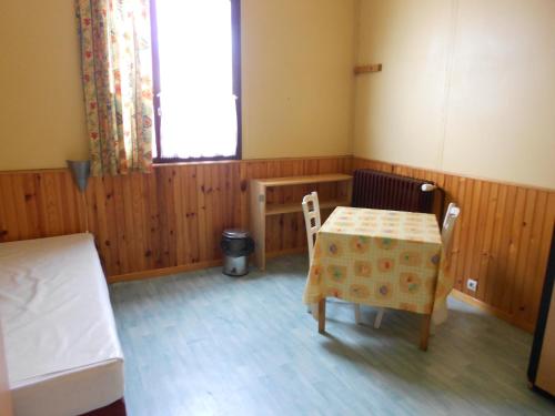
Guest accommodation : Auberge Fleurie
Set in Saint-Nizier-sur-Arroux, in a building dating from 1930, Auberge Fleurie provides water sports facilities and guestrooms with free WiFi. Featuring a restaurant, the prope...
Rate : from 42.00 €
to 110.00 €
Contact : Le Bourg 71190 Saint-Nizier-sur-Arroux
Distance Guest accommodation - La Tagnière : 6.18 km
|
|
|
Guest accommodation : Camping des 2 Rives- Chalets

Set in Étang-sur-Arroux, Camping des 2 Rives- Chalets features accommodation with a terrace and free WiFi. This chalet provides barbecue facilities. The chalet includes 3 bedro...
Price : from 27.50 €
to 110.00 €
Address : 26 Rue de Toulon 71190 Étang-sur-Arroux
Distance Guest accommodation - La Tagnière : 8.44 km
|
|
|
Hostel : Camping des 2 Rives- Dortoirs
Camping des 2 Rives- Dortoirs has a garden and a terrace in Étang-sur-Arroux. Featuring a shared kitchen, this property also provides guests with a children's playground. Free W...
Prices : from 22.00 €
to 37.00 €
Contact : 26 Rue de Toulon 71190 Étang-sur-Arroux
Distance Hostel - La Tagnière : 8.45 km
|
|
|
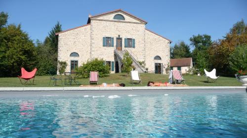
Bed and Breakfast : Le Moulin Rénové
Located in the village of La Boulaye, in the heart of the Burgundy region, this guesthouse is a former mill and offers a swimming pool and a sauna. Le Moulin La Boulaye is set i...
Rate : from 100.00 €
to 240.00 €
Contact : Le Bois Du Caveau 71320 La Boulaye
Distance Bed and Breakfast - La Tagnière : 8.52 km
|
|
|
Apartment : Appartement Atelier
Appartement Atelier is located in Toulon-sur-Arroux, 49 km from Cluny. Free private parking is available on site. The room is equipped with a flat-screen TV. It features a seat...
Price : from 56.05 €
to 59.00 €
Contact : 34 Bis Rue De La Vendée 71320 Toulon-sur-Arroux
Distance Apartment - La Tagnière : 12.13 km
|
|

|
Guest accommodation : Gite de la Combe Ganat
Set in Sanvignes-les-Mines, this holiday home is located 68 km from Beaune and 55 km from Chalon-sur-Saône. The kitchen is equipped with a dishwasher, an oven and a microwave, ...
Prices : from 70.00 €
to 220.00 €
Address : la combe ganat 71410 Sanvignes-les-Mines
Distance Guest accommodation - La Tagnière : 12.60 km
|
|
|
Bed and Breakfast : La Rose Rouge
Offering a sun terrace and views of the mountain, bed and breakfast La Rose Rouge is located in La Comelle in the Burgundy Region, 16 km from Autun. Your stay will include free ...
Contact : Huspoil 71990 La Comelle
Distance Bed and Breakfast - La Tagnière : 13.60 km
|
|
Find another hotel near La Tagnière : La Tagnière hotels list
|
Map of La Tagnière
|
|
Map of La Tagnière :
At right you can find the localization of La Tagnière on the map of France. Below, this is the satellite map of La Tagnière. A road map, and maps templates of La Tagnière are available here : "road map of La Tagnière". This map show La Tagnière seen by the satellite of Google Map. To see the streets of La Tagnière or move on another zone, use the buttons "zoom" and "map" on top of this dynamic map.
Search on the map of La Tagnière :
To search hotels, housings, tourist information office, administrations or other services, use the Google search integrated to the map on the following page : "map La Tagnière".
Hotels of La Tagnière are listed on the map with the following icons: 
The map of La Tagnière is centred in the following coordinates :
|

|
|
|
|
Print the map of La Tagnière

Print the map of La Tagnière : map of La Tagnière
|
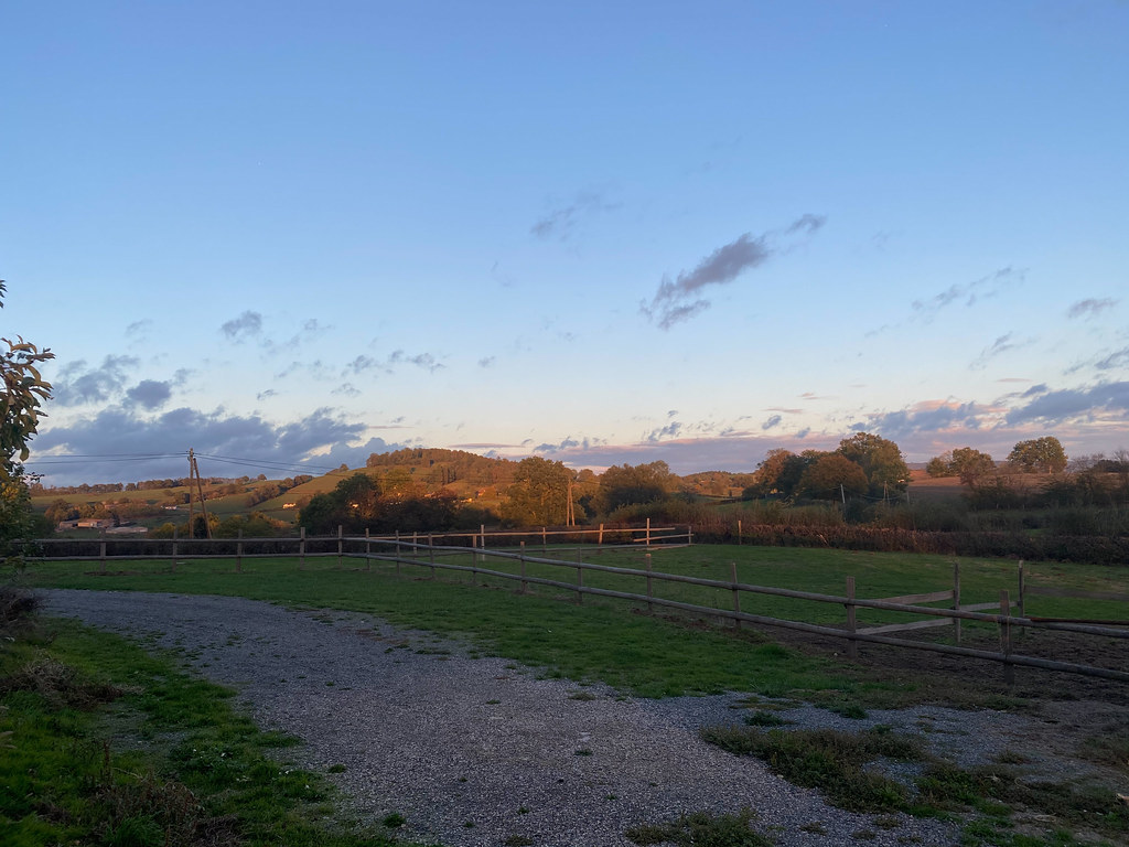
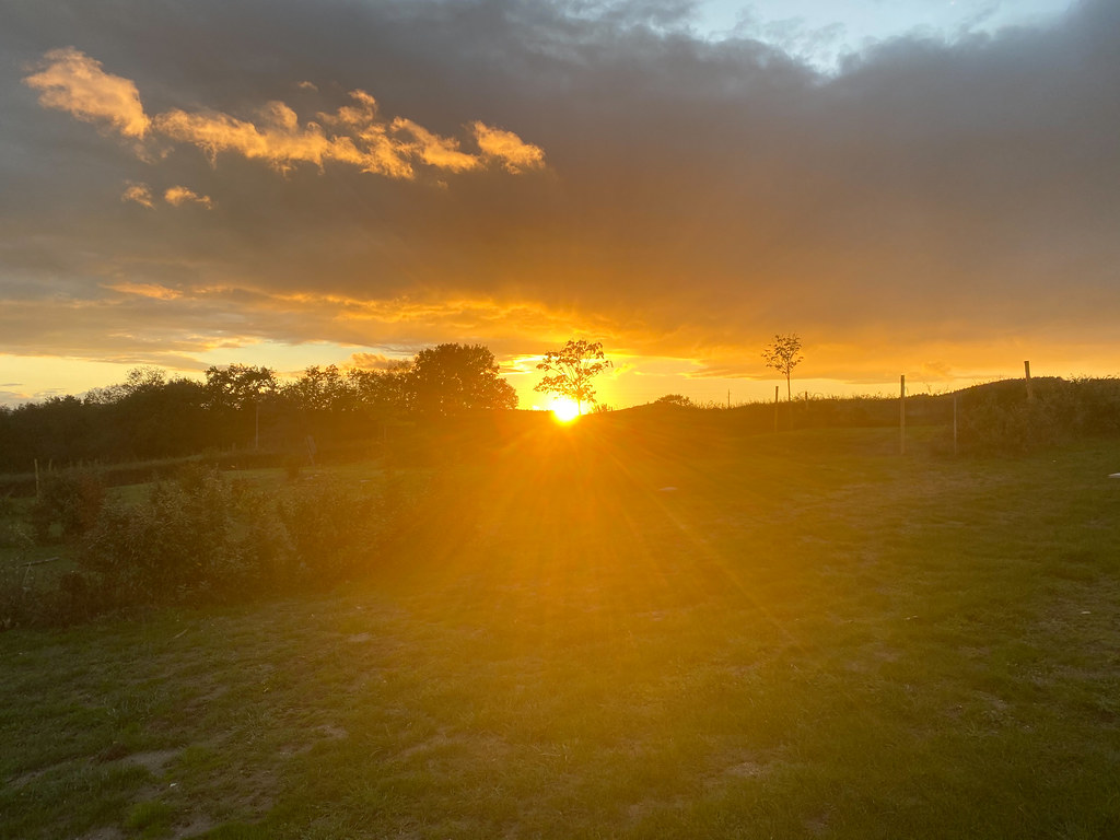
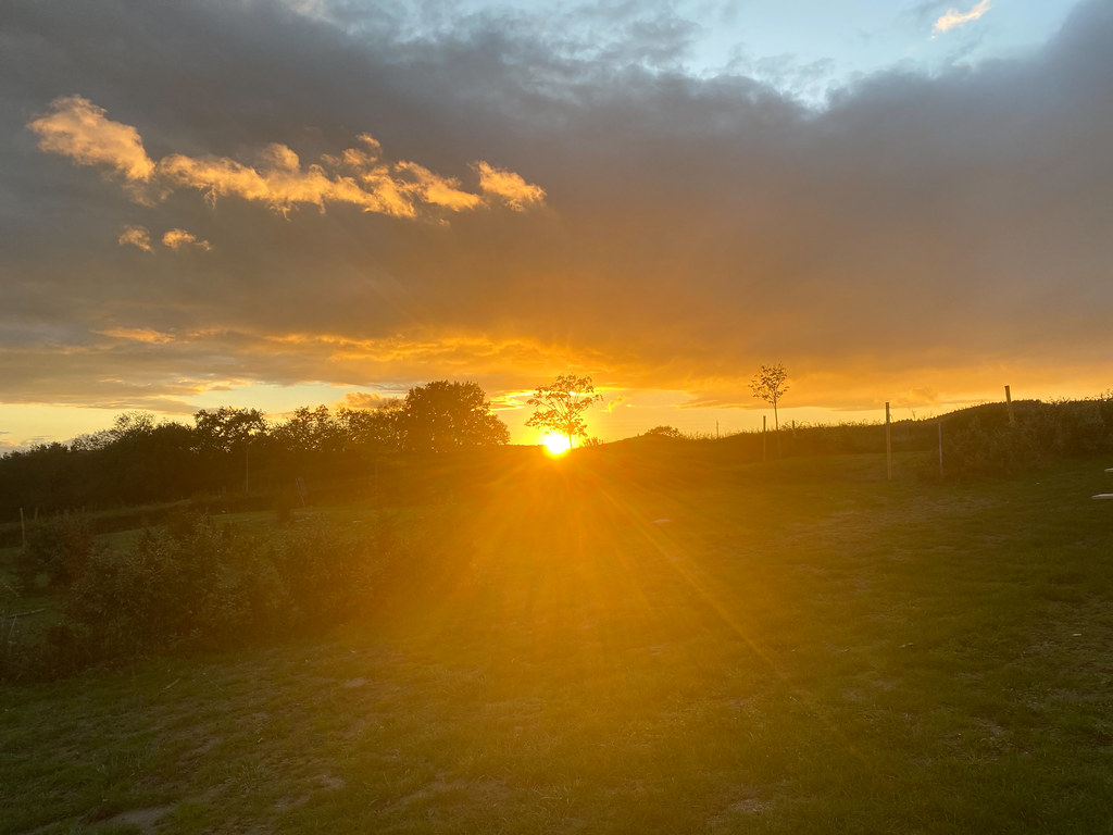
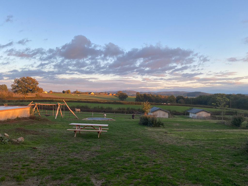
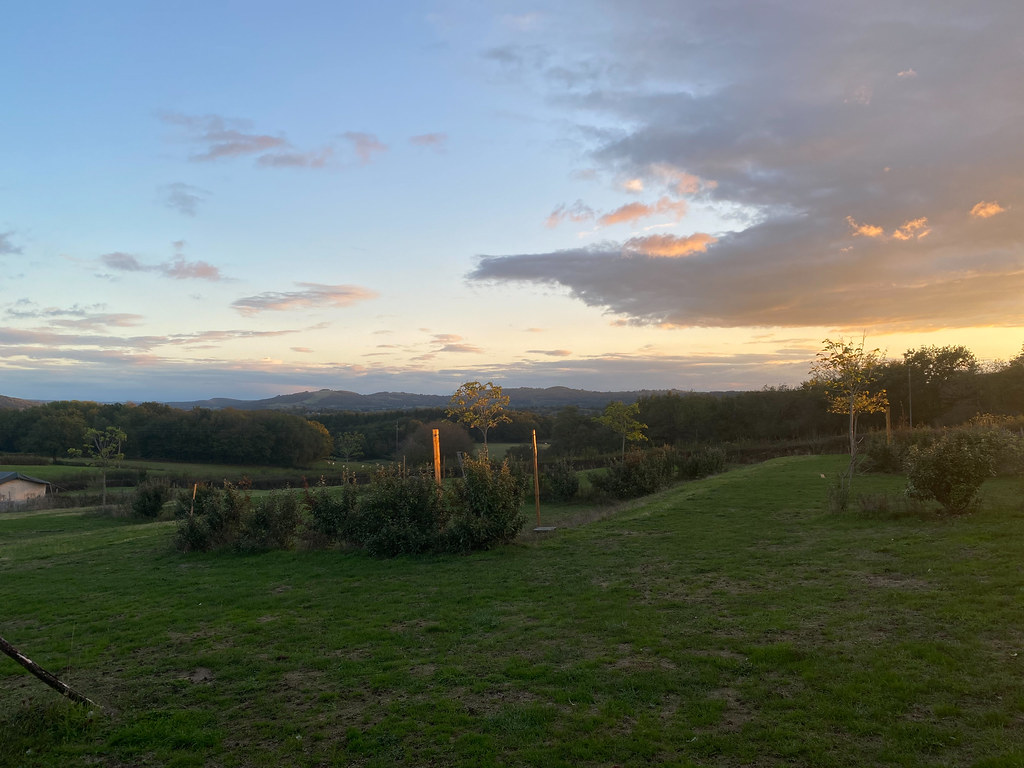
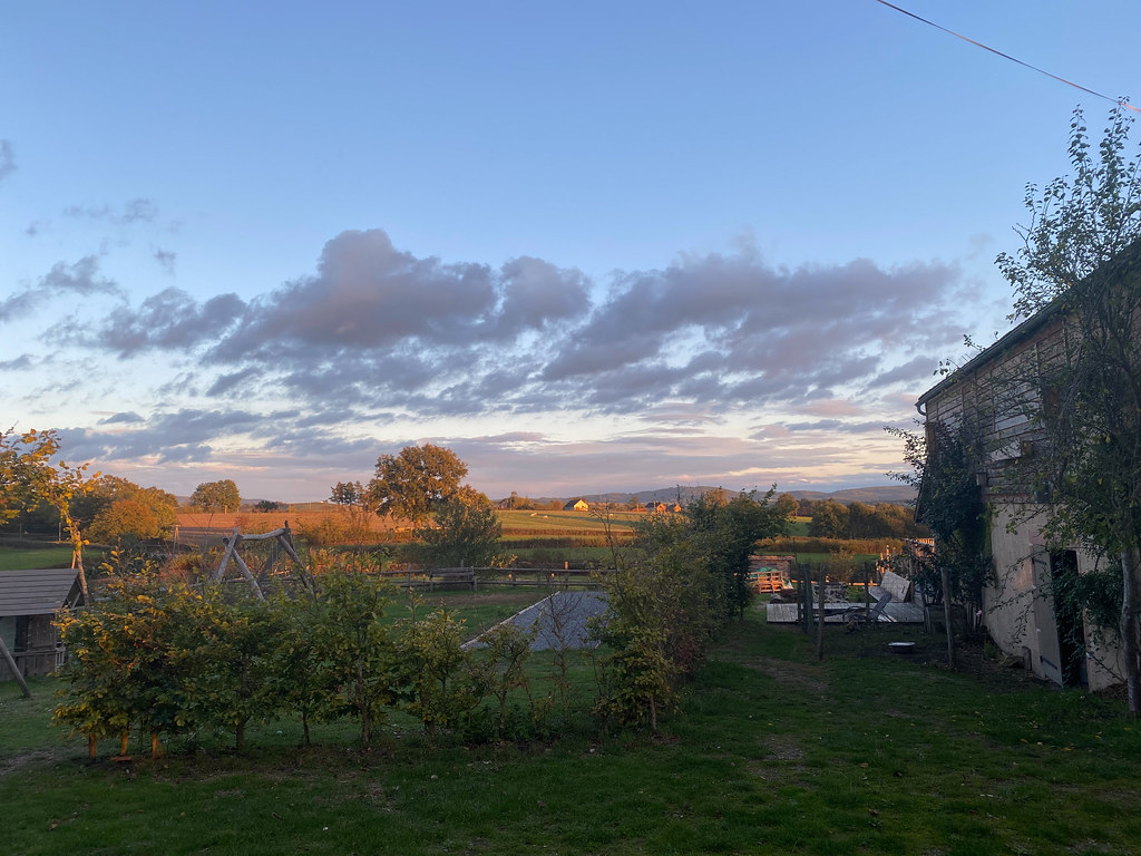
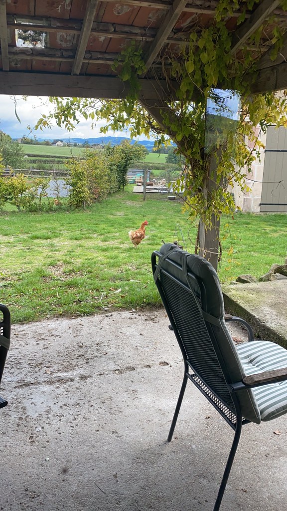
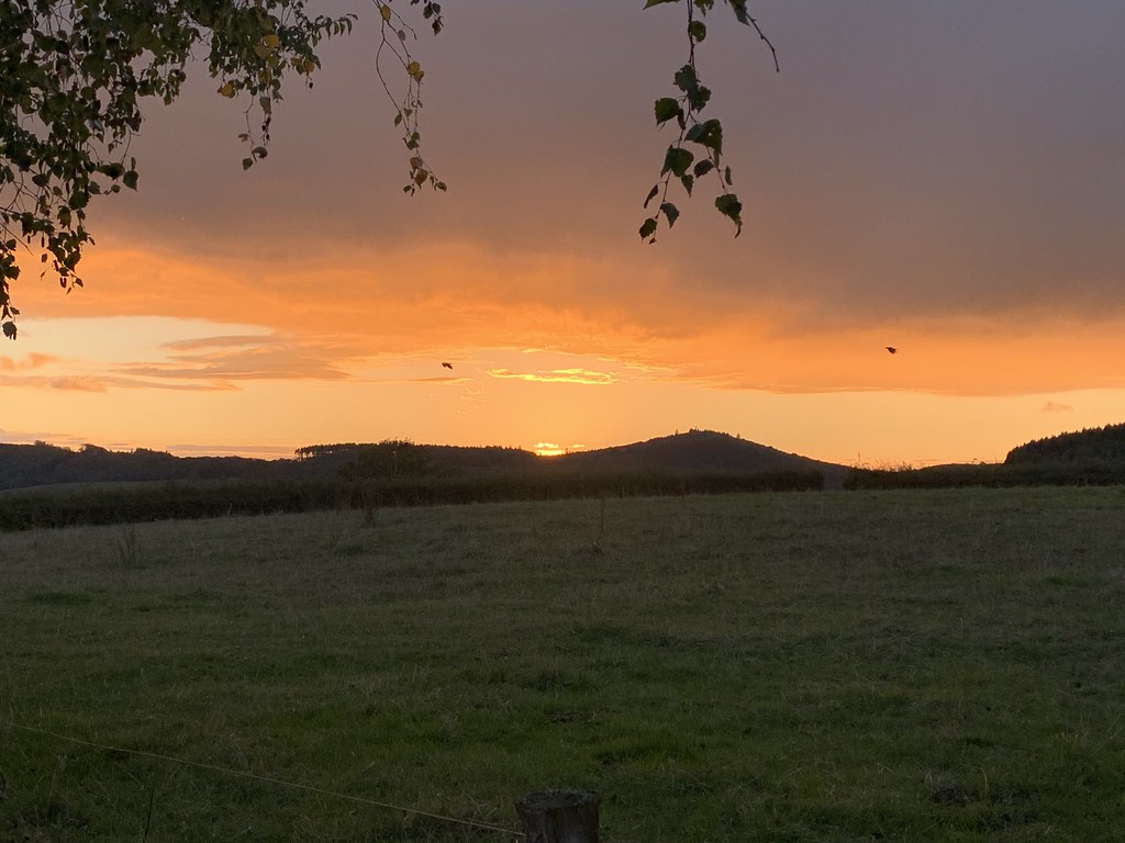
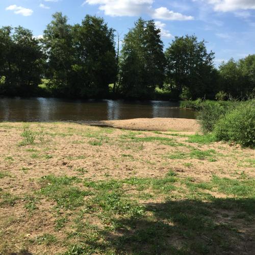
Photos La Tagnière
|
See all photos of La Tagnière :
Other photos of La Tagnière and nearby towns can be found here: photos La Tagnière
|
|
La Tagnière weather forecast
Find next hours and 7 days weather forecast for La Tagnière here : weather La Tagnière (with english metrics)
This is the last weather forecast for La Tagnière collected by the nearest observation station of Mesvres.
Week Forecast:
The latest weather data for La Tagnière were collected Sunday, 02 August 2026 at 11:04 from the nearest observation station of Mesvres.
| Sunday, August 2nd |
32°C 17°C
0%
3%
|
Clear
Temperature Max: 32°C Temperature Min: 17°C
Precipitation Probability: 0%
Percentage of sky occluded by clouds: 3%
Wind speed: 6 km/h West
Humidity: 48%° UV Index: 8
Sunrise: 06:24 Sunset: 21:14 |
|
| | Monday, August 3rd |
34°C 21°C
39%
55%
|
Rain
Temperature Max: 34°C Temperature Min: 21°C
Precipitation Probability: 39% (Rain)
Percentage of sky occluded by clouds: 55%
Wind speed: 9 km/h North-East
Humidity: 44%° UV Index: 6
Sunrise: 06:25 Sunset: 21:12 |
|
| | Tuesday, August 4th |
29°C 20°C
51%
39%
|
Drizzle
Temperature Max: 29°C Temperature Min: 20°C
Precipitation Probability: 51% (Rain)
Percentage of sky occluded by clouds: 39%
Wind speed: 11 km/h East
Humidity: 64%° UV Index: 7
Sunrise: 06:26 Sunset: 21:11 |
|
| | Wednesday, August 5th |
28°C 18°C
23%
33%
|
Mostly clear
Temperature Max: 28°C Temperature Min: 18°C
Precipitation Probability: 23% (Rain)
Percentage of sky occluded by clouds: 33%
Wind speed: 12 km/h East
Humidity: 59%° UV Index: 7
Sunrise: 06:27 Sunset: 21:10 |
|
|
Attribution: 
|
|
Other maps, hotels and towns in france
Find another town, zip code, department, region, ...
Quick links La Tagnière :
Make a link to this page of La Tagnière with the following code :
|
|
|
 French Version : http://www.cartesfrance.fr/carte-france-ville/71531_La Tagniere.html